 vesseltracker.com
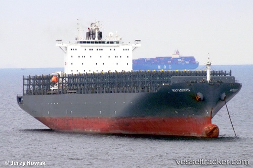
Vessel KALAHARI EXPRESS IMO: 9400095, MMSI: 636093117 Container Ship
UTC, -28.69252, 11.14950, course: 145, speed: 14.6
UTC, -28.98803, 11.34833, course: 146, speed: 15.4
2026-01-29 07:23:34 UTC, -29.40881, 11.69873, course: 147, speed: 15.7
Live AIS position:
UTC. 247 nm SW of Luderitz Bay),
updated 2026-01-29 07:23:34 UTC.
Find the position of the vessel KALAHARI EXPRESS on the map. The latter are known coordinates and path.
marine traffic ship tracker show on live map
The current position of vessel KALAHARI EXPRESS is -29.40881 lat / 11.69873 lng. Updated: 2026-01-29 07:23:34 UTCCurrently sailing under the flag of Liberia
KALAHARI EXPRESS built in 2010 year
Deadweight:
81002 tDetails:
Last coordinates of the vessel:
UTC, -28.10701, 10.85063, course: 159, speed: 14.6UTC, -28.69252, 11.14950, course: 145, speed: 14.6
UTC, -28.98803, 11.34833, course: 146, speed: 15.4
2026-01-29 07:23:34 UTC, -29.40881, 11.69873, course: 147, speed: 15.7